ABOUT RIMROCK VALLEY RANCH
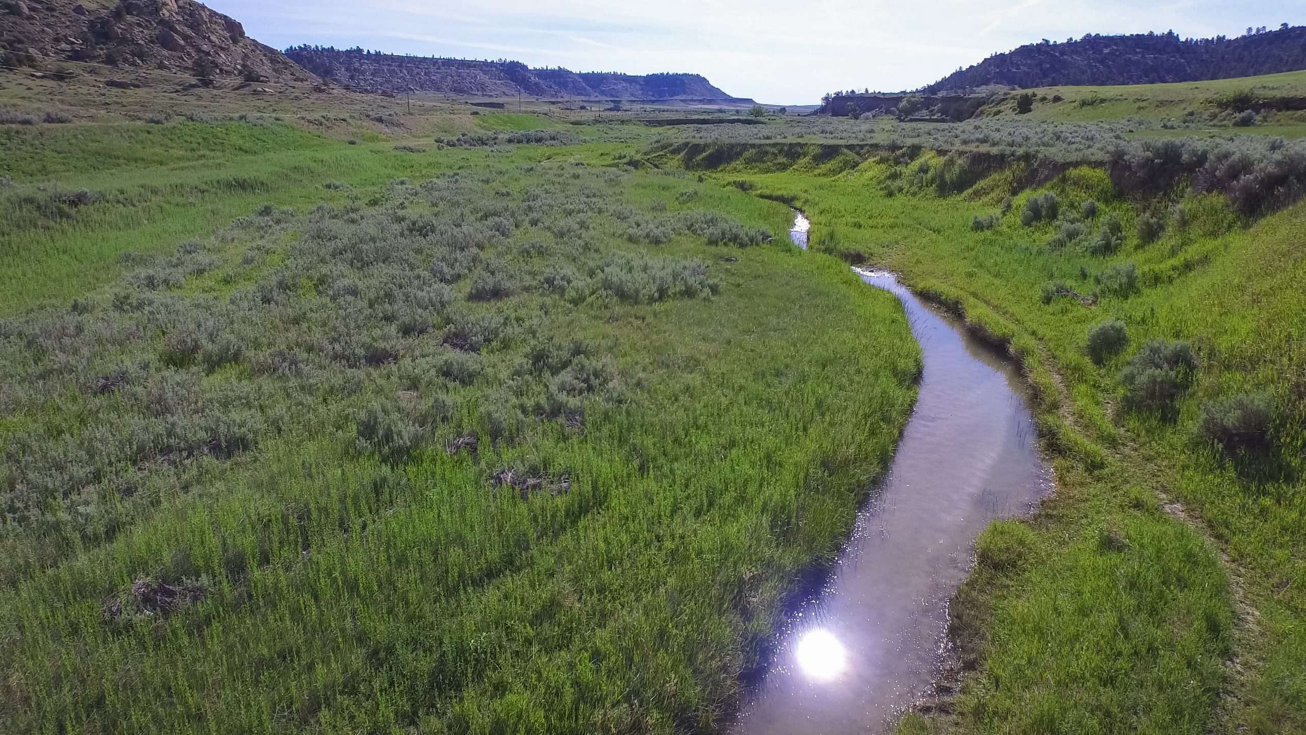
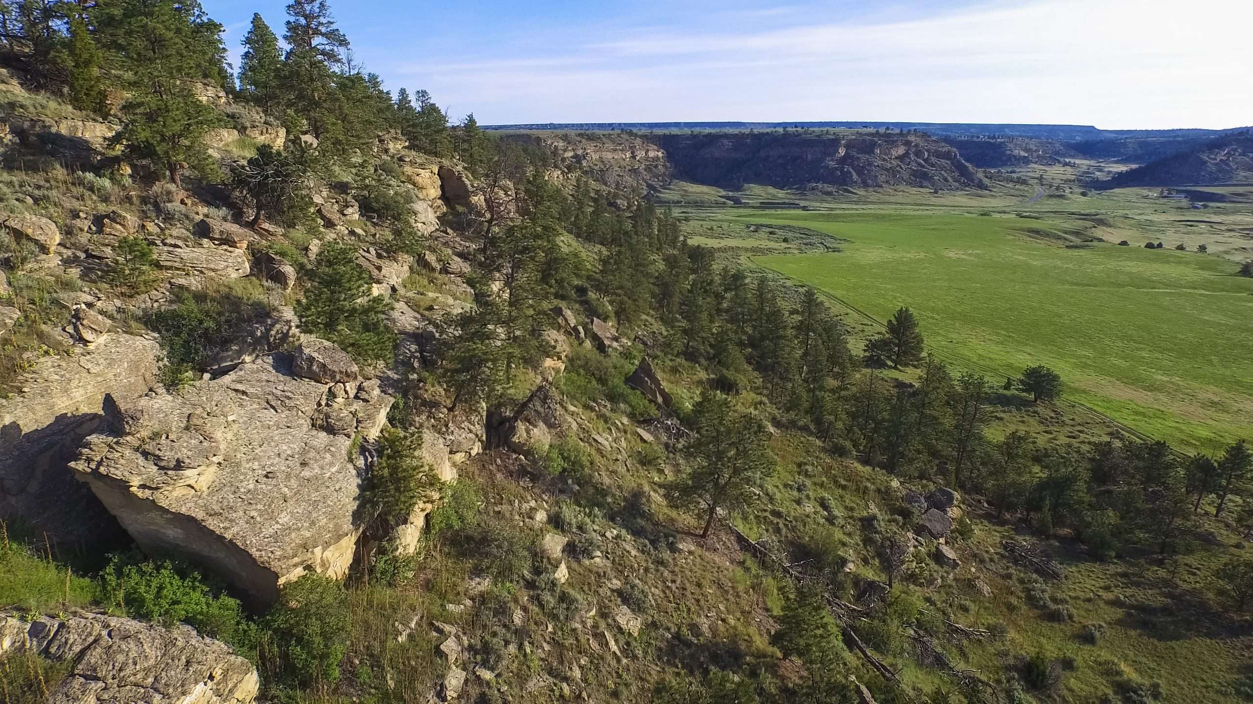
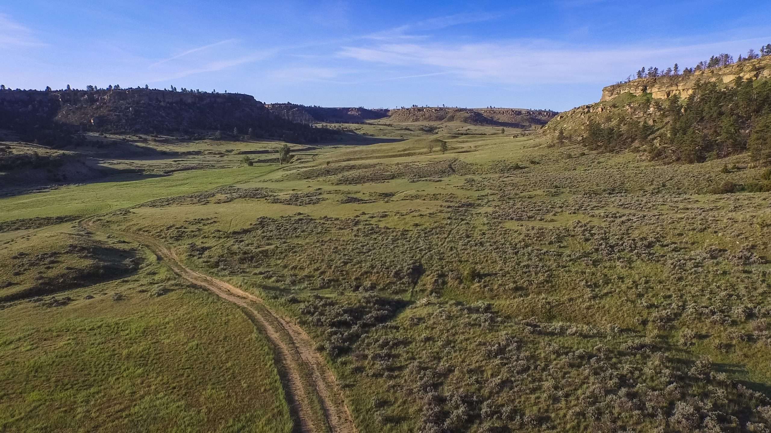
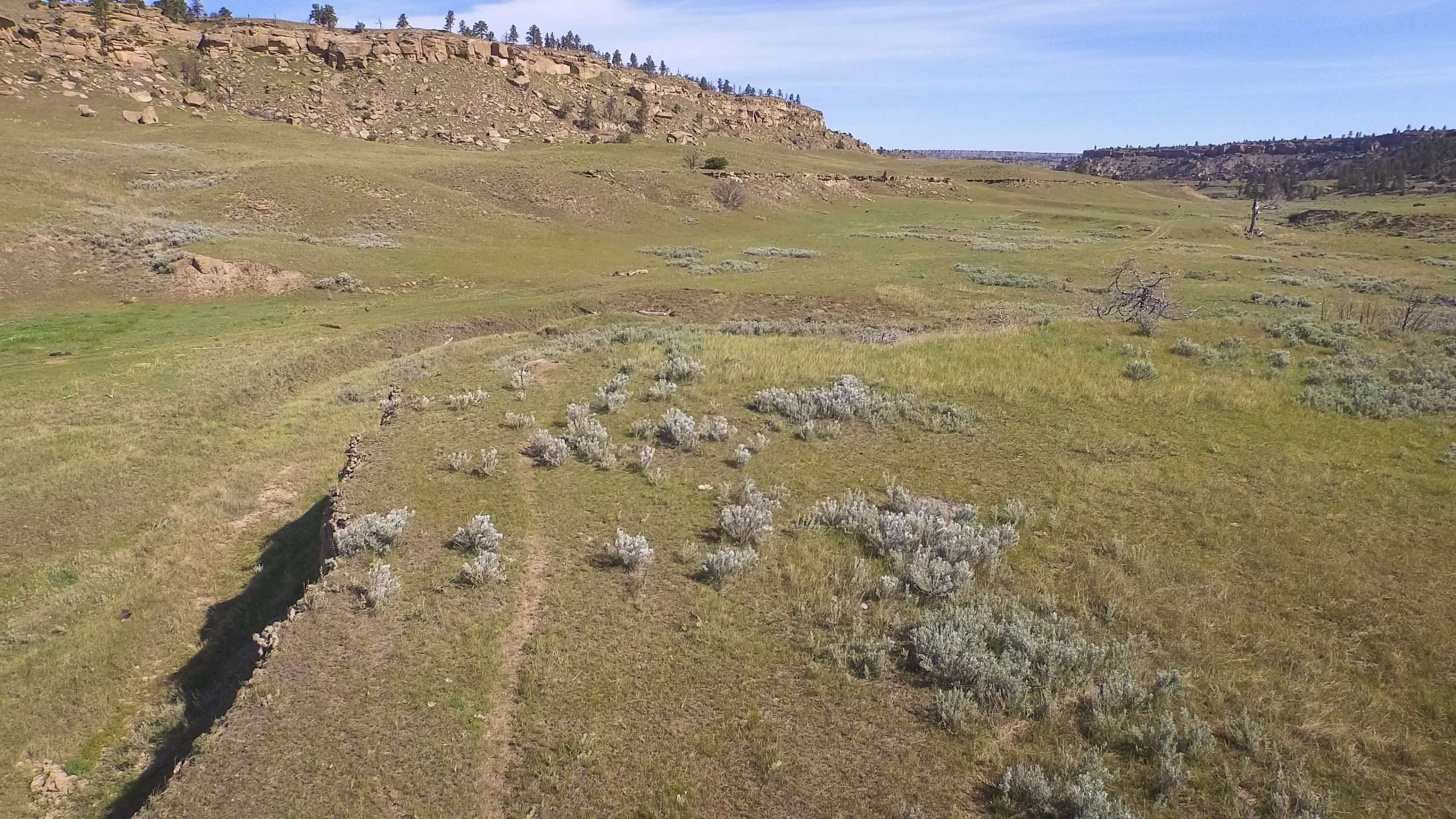
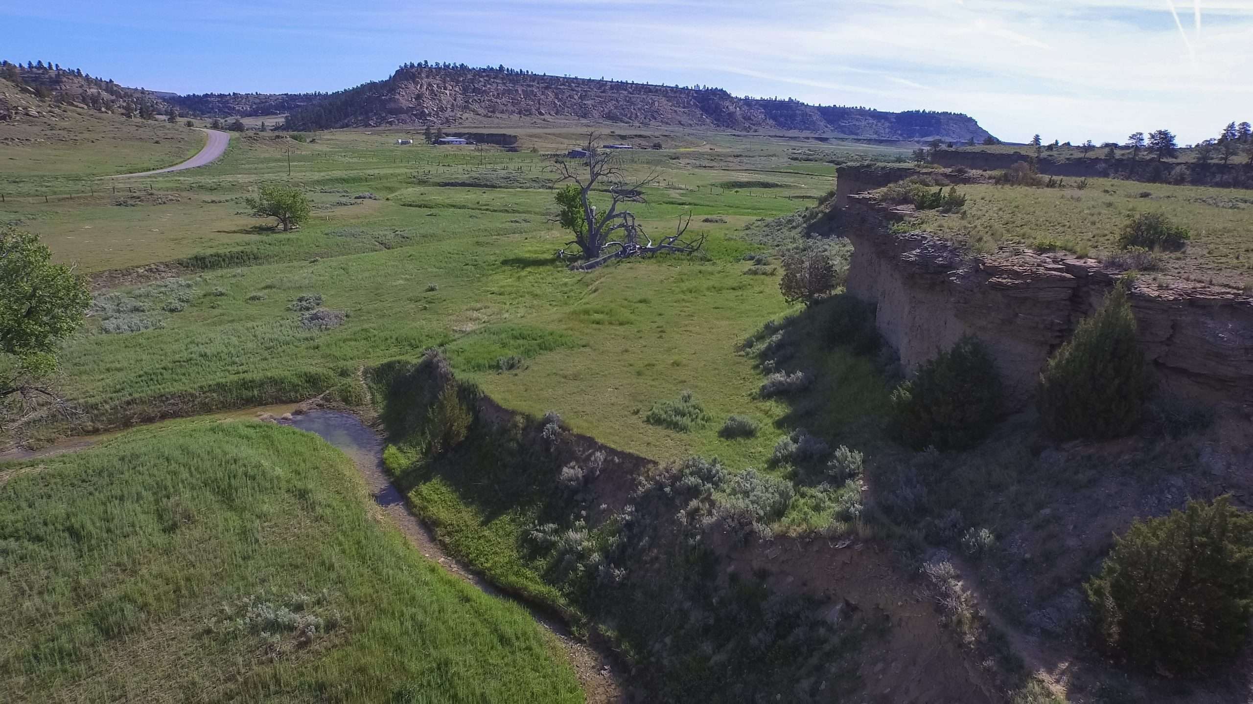
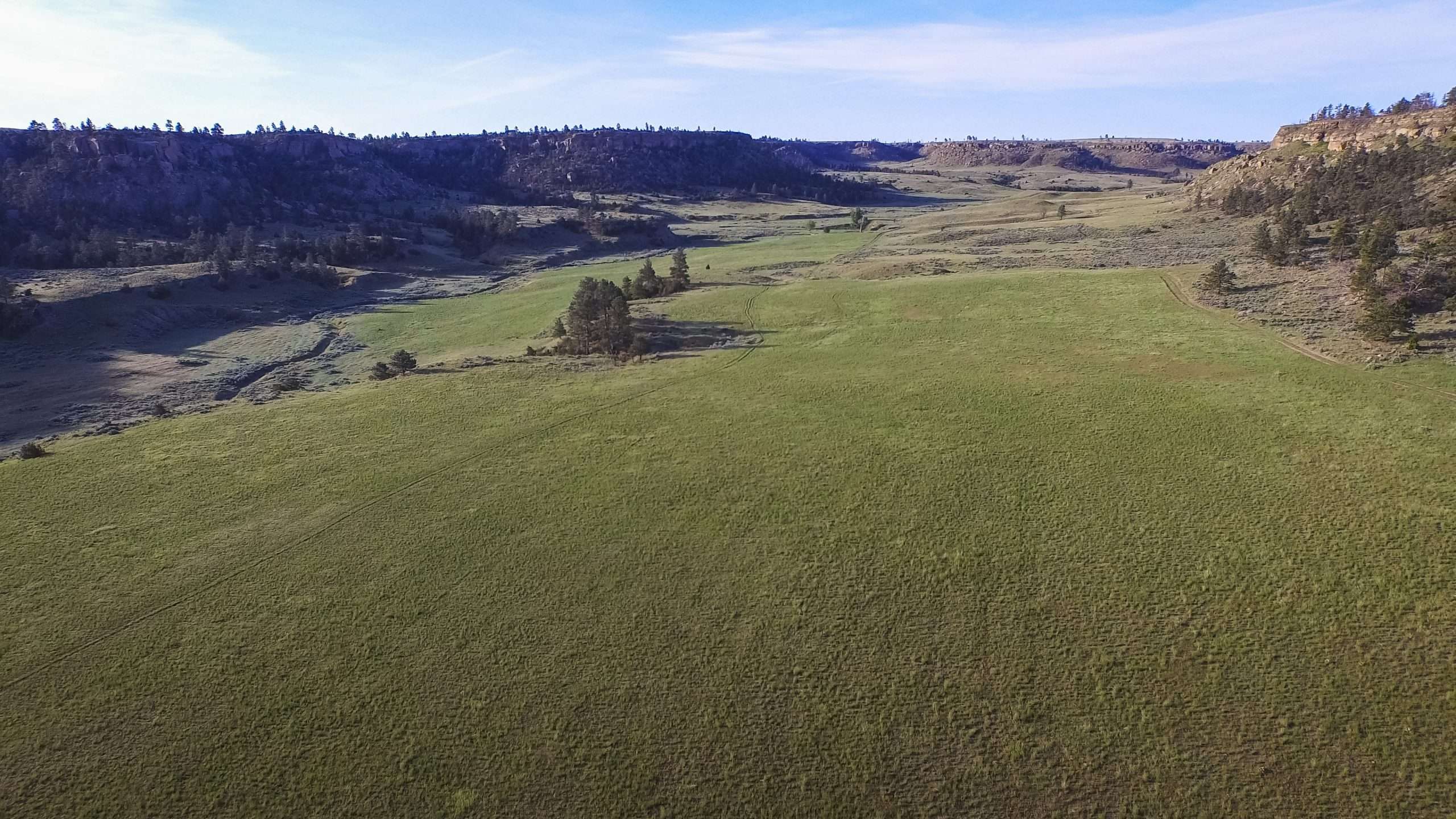
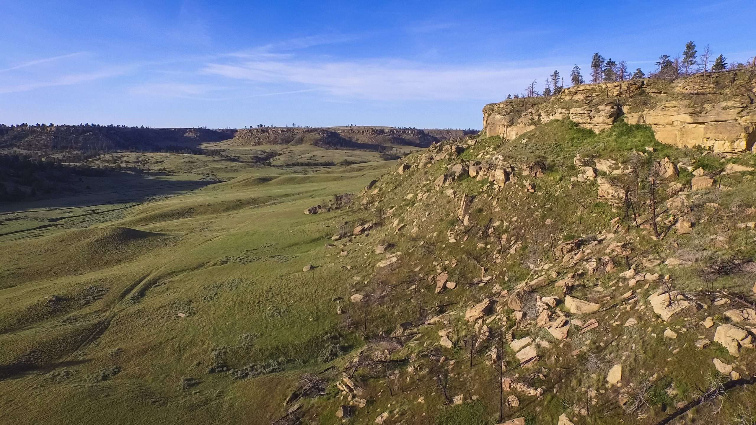
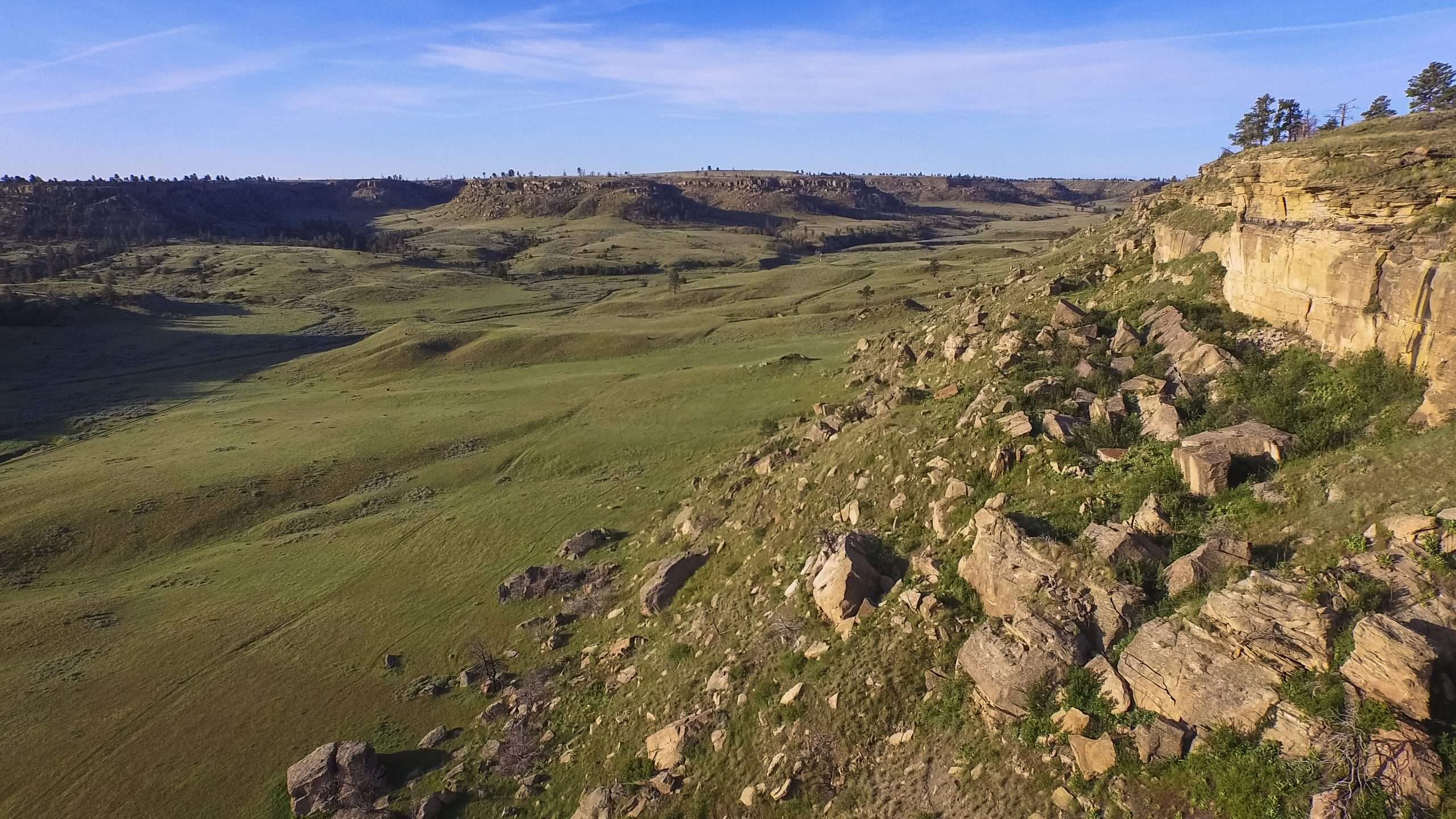
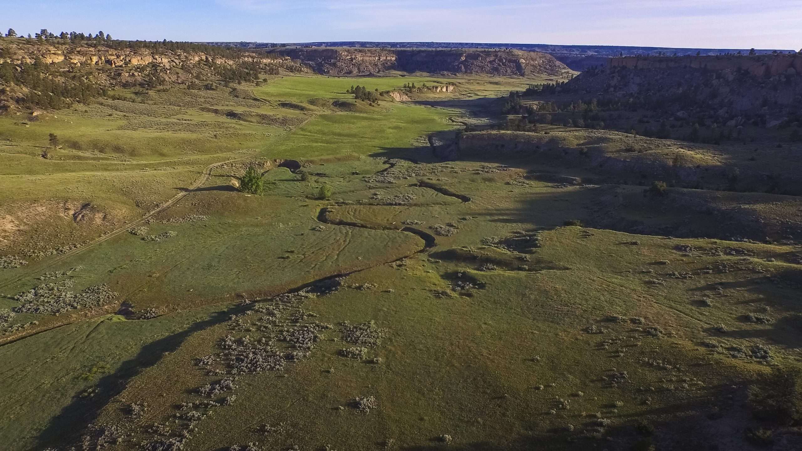
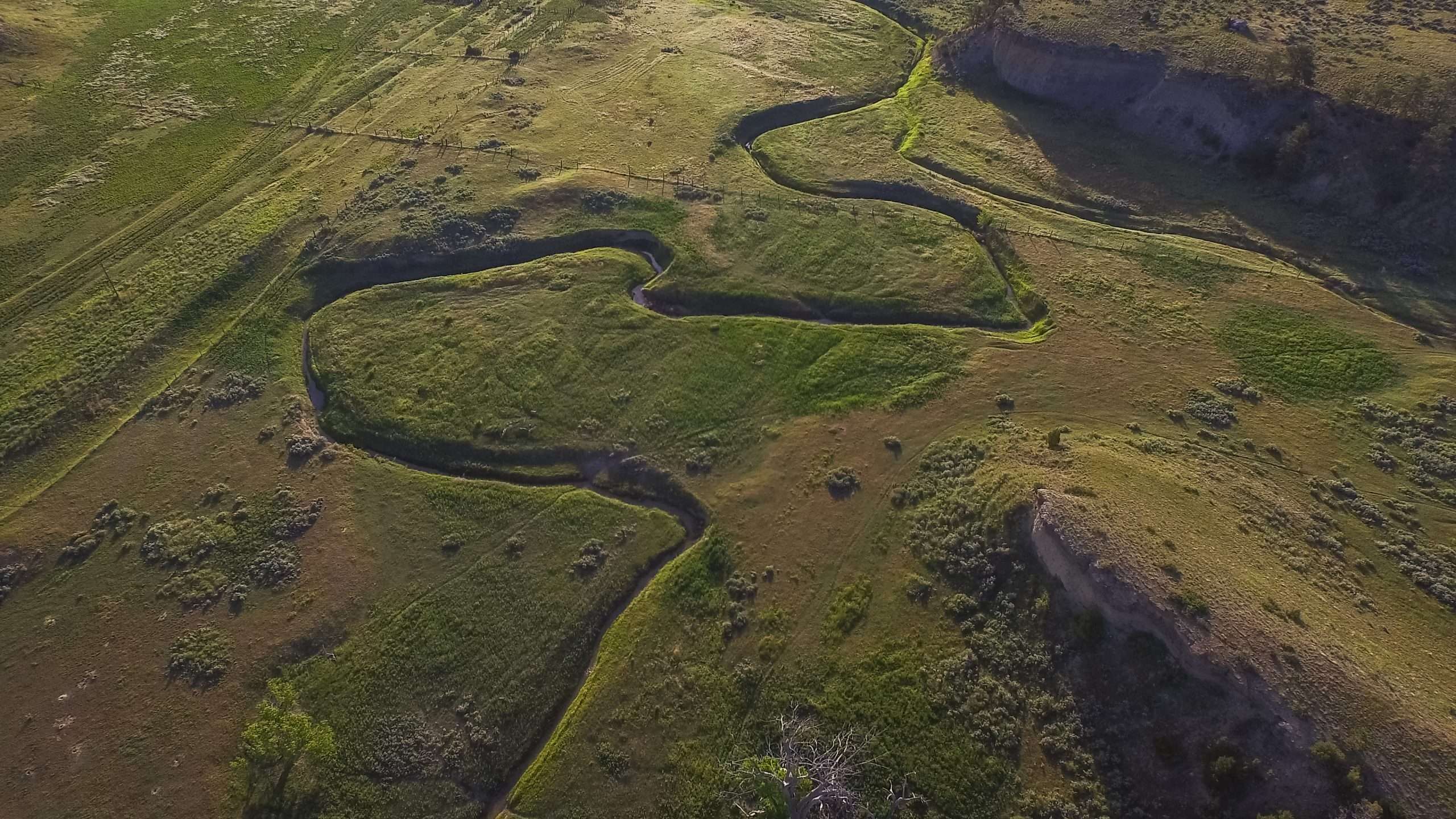
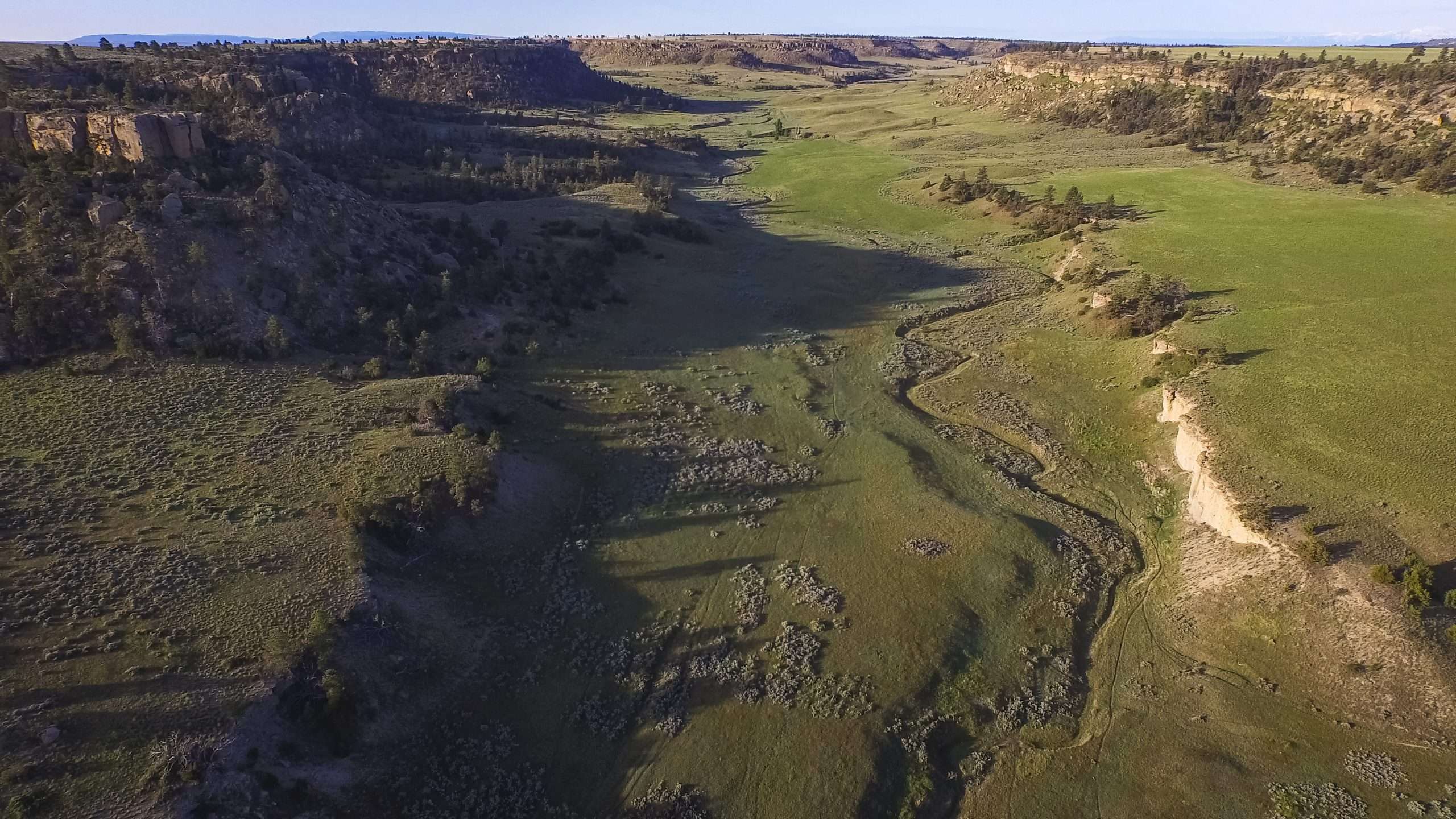
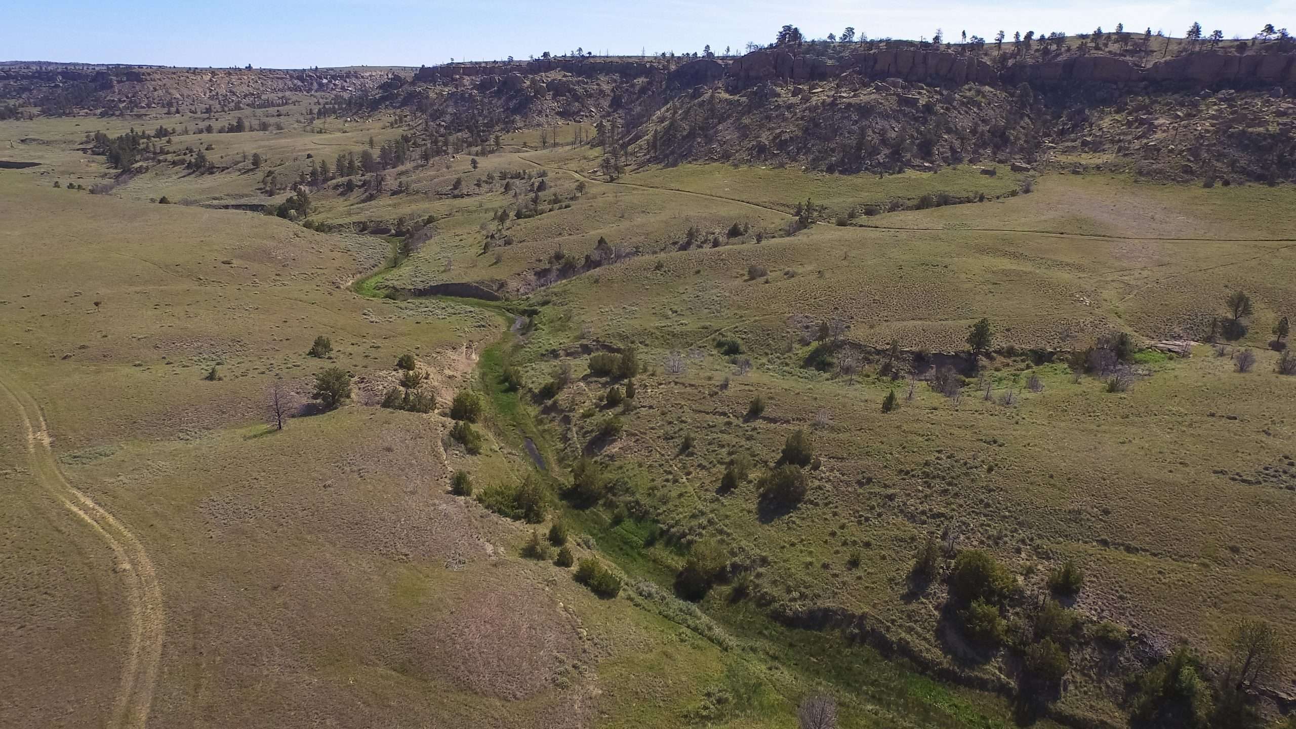
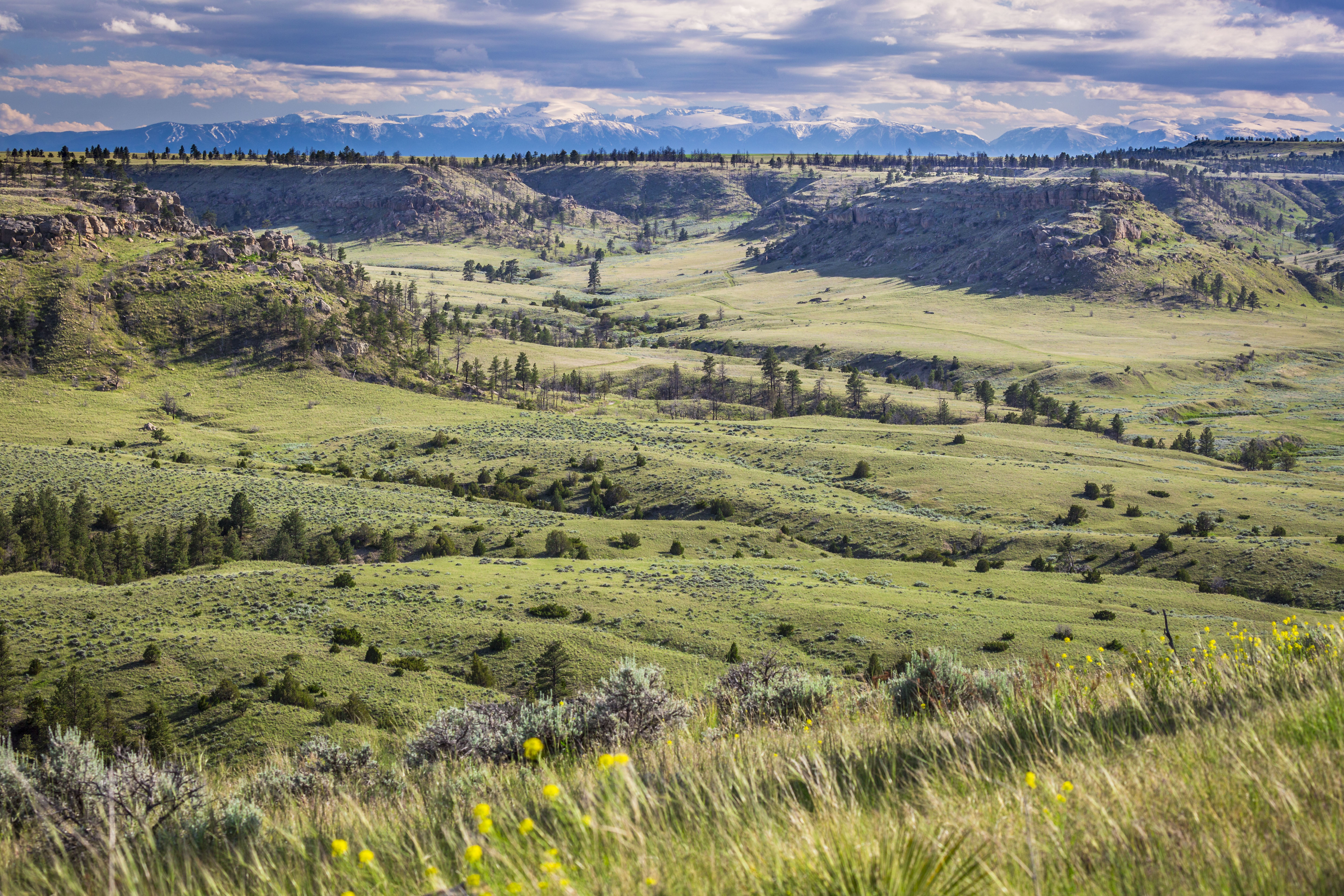
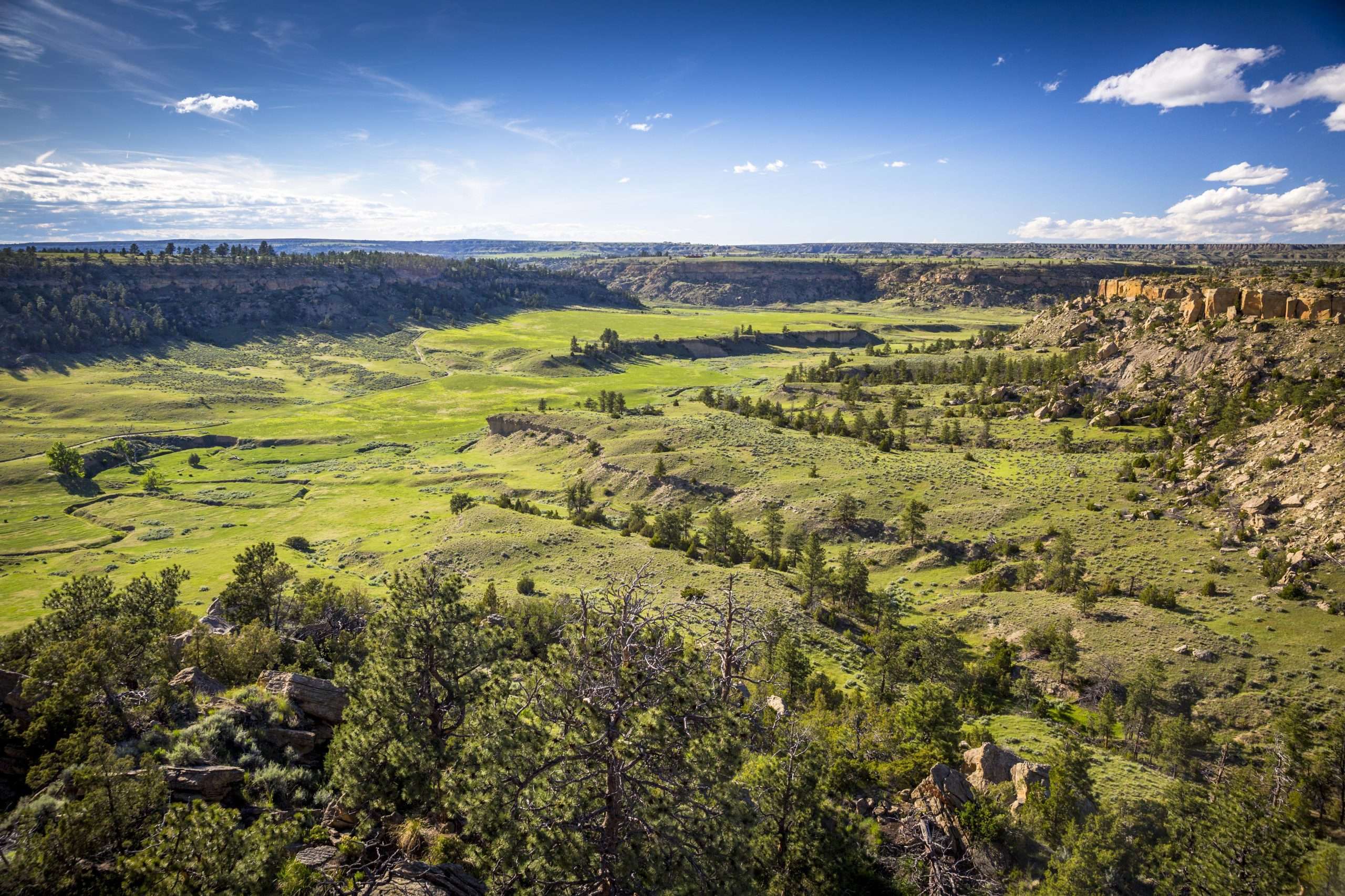
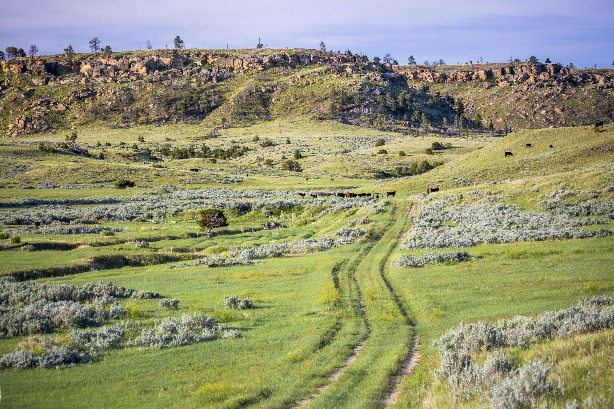
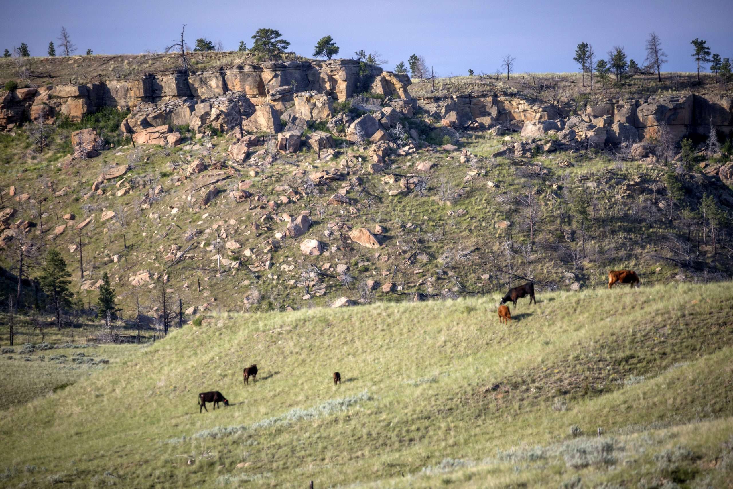
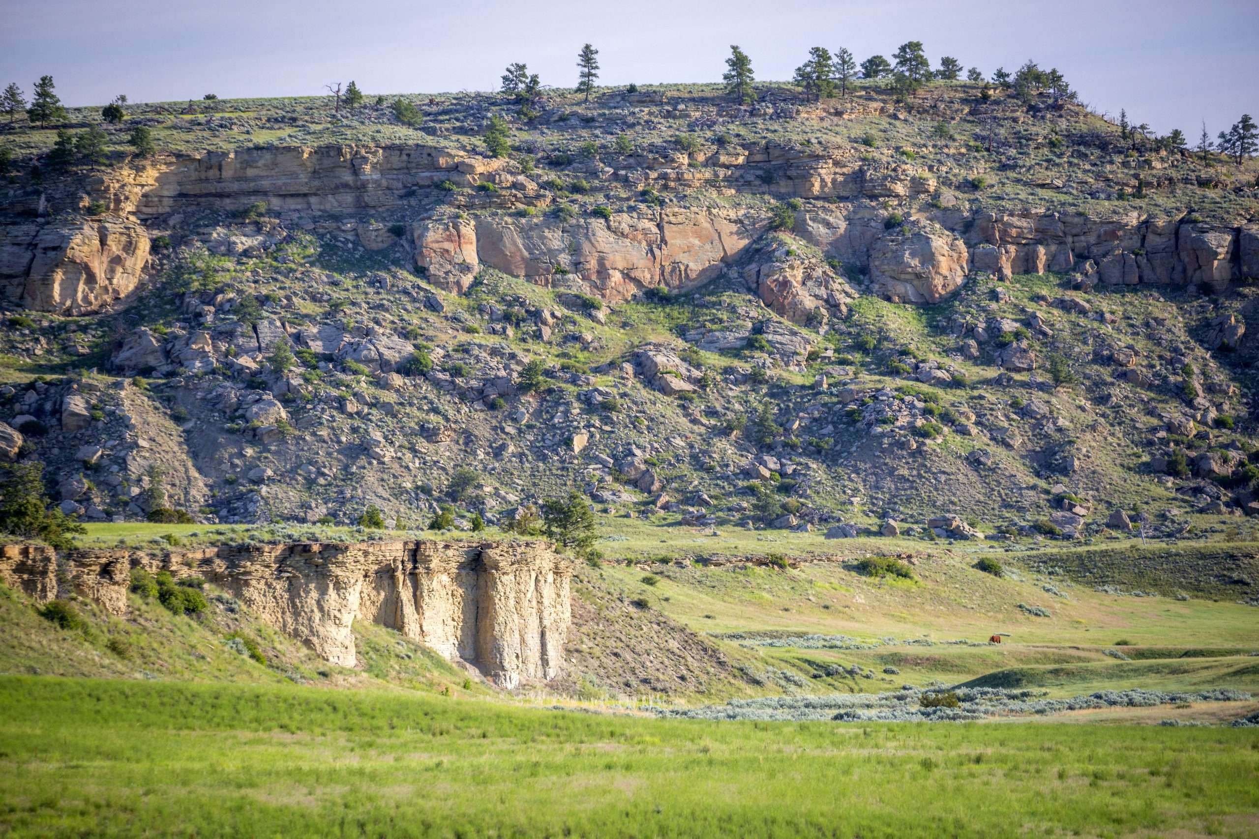
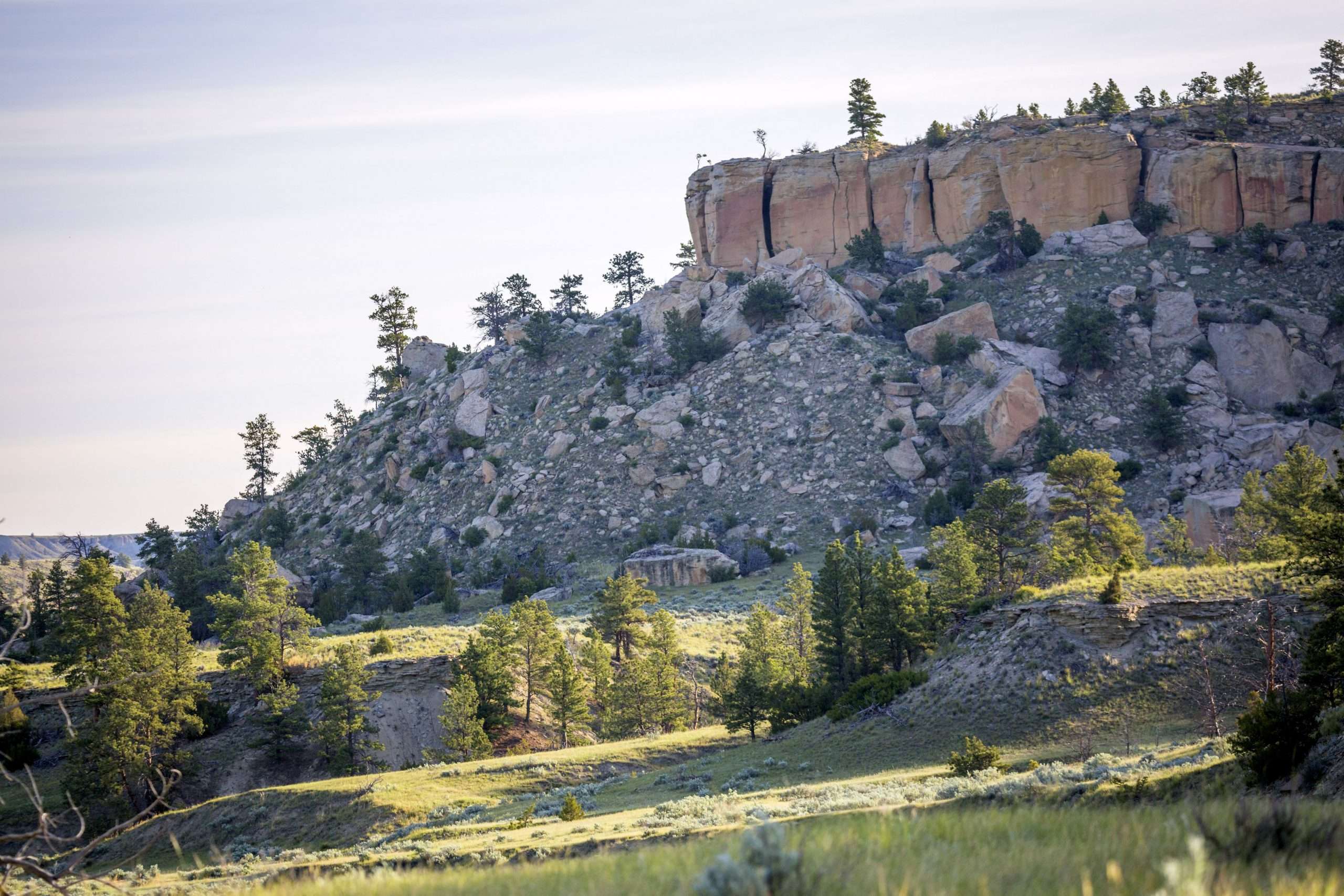
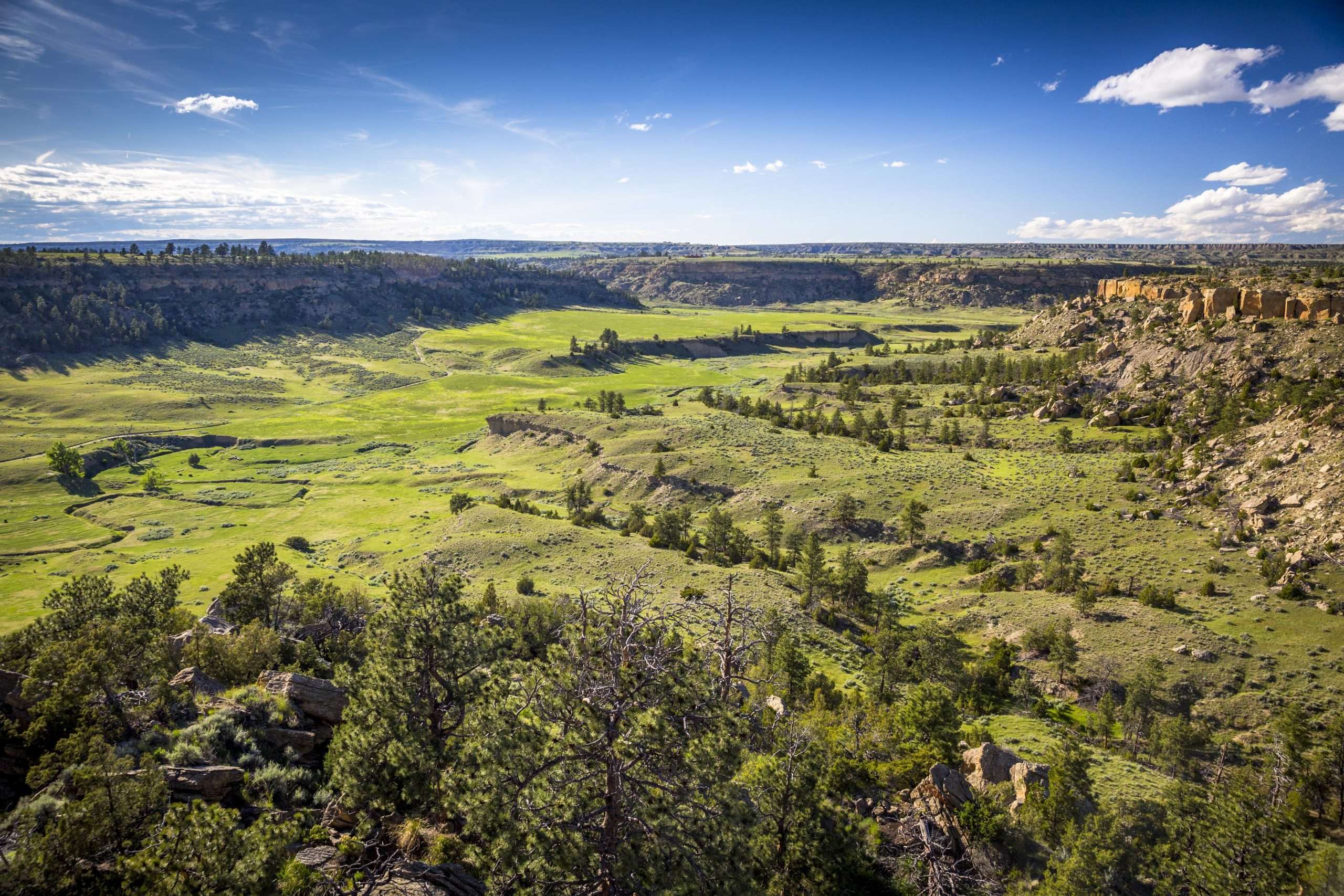
Rimrock Valley Ranch is known for its most notorious homesteader, Martha Jane Cannary, aka, Calamity Jane. The ranch is a total of 1,375± deeded acres with approximately 2.2 miles of the reliable South Fork of Canyon Creek traversing its valley, along with several other unnamed spring flows. It is predominantly defined by a large sweeping, grass-lined canyon surrounded by rimrock cliffs flanking the valley along with 200± acres of dryland farm ground currently in hay production. In addition to creating always coveted privacy, the cliffs act as fencing for roughly 80% of its border, leaving just 20% to traditional fencing. Wildlife on the ranch includes mule deer, white-tailed deer and antelope, along with a healthy population of upland game birds. Currently, the ranch is home to just a handful of horses allowing the grasses to flourish. However, it has held cattle, sheep and bison in the past. Western Ranch Brokers is proud to present this well-rounded ranch to the market as a fine example of Montana’s legendary past coupled with modern amenities less than 30 minutes away in Billings, the state’s largest city.
HISTORICAL SIGNIFICANCE
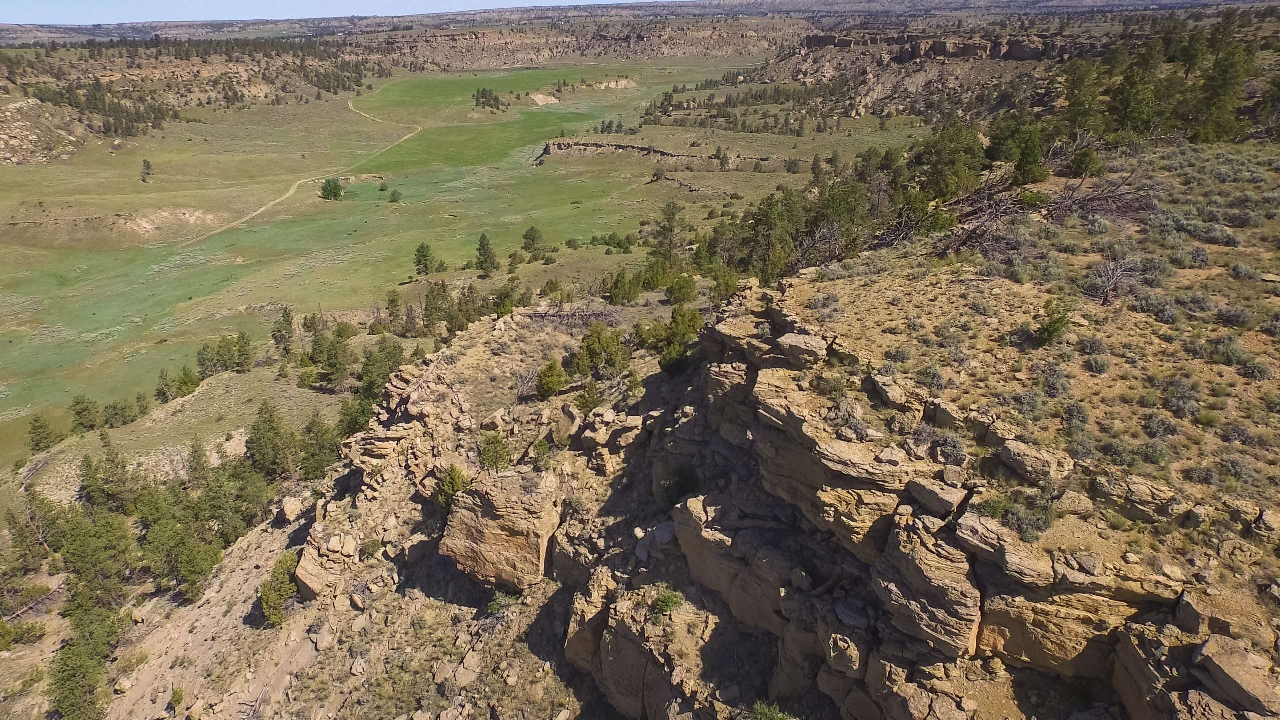
As history dictates, Jane was a sharp-shooting, tobacco-spitting, master horsewoman and gunslinger who could hold her own against anyone. But she also had a tender side, often caring for those with chickenpox or treating wounded after a battle, such as the Battle at Canyon Creek, where she was first introduced to the ranch. Thus, Jane became known as someone you could count on after a calamity, and the name stuck. Jane would often water her horses within the ranch along Canyon Creek. The combination of reliable water and lush grasses made the ranch an ideal place to tend her stock. Later, she would move the horses up to a steep plateau rising some 300 ft above the valley floor. The sheer cliffs of the rimrock surrounding the downslopes of this plateau made it an ideal place to hold her remuda. Eventually, after continued use, this plateau became known as the Calamity Jane Horse Cache which is still identified as such on USGS maps. Enamored by the area, Calamity Jane remained in the area and eventually purchased land, living on the ranch.
LOCATION & ACCESS
Rimrock Valley Ranch is located just 10 minutes north of the charming town of Laurel, Montana (pop. of 6,000+) and less than 30 minutes west of Billings (pop. 117,000+) which is the Yellowstone County seat and the largest city in the state. Less than 2 hours west is bustling Bozeman (pop. 50,000+) and Yellowstone National Park is just under 2.5 hours drive. Laurel offers most any of the daily goods and services you would expect and is conveniently located along the I-90 corridor. Billings and Bozeman have large box stores, car & equipment dealerships, excellent restaurants and cultural sites and venues. Importantly, both will offer international air travel with many non-stop flights to prime destinations with most all of the major carriers.
IMPROVEMENTS
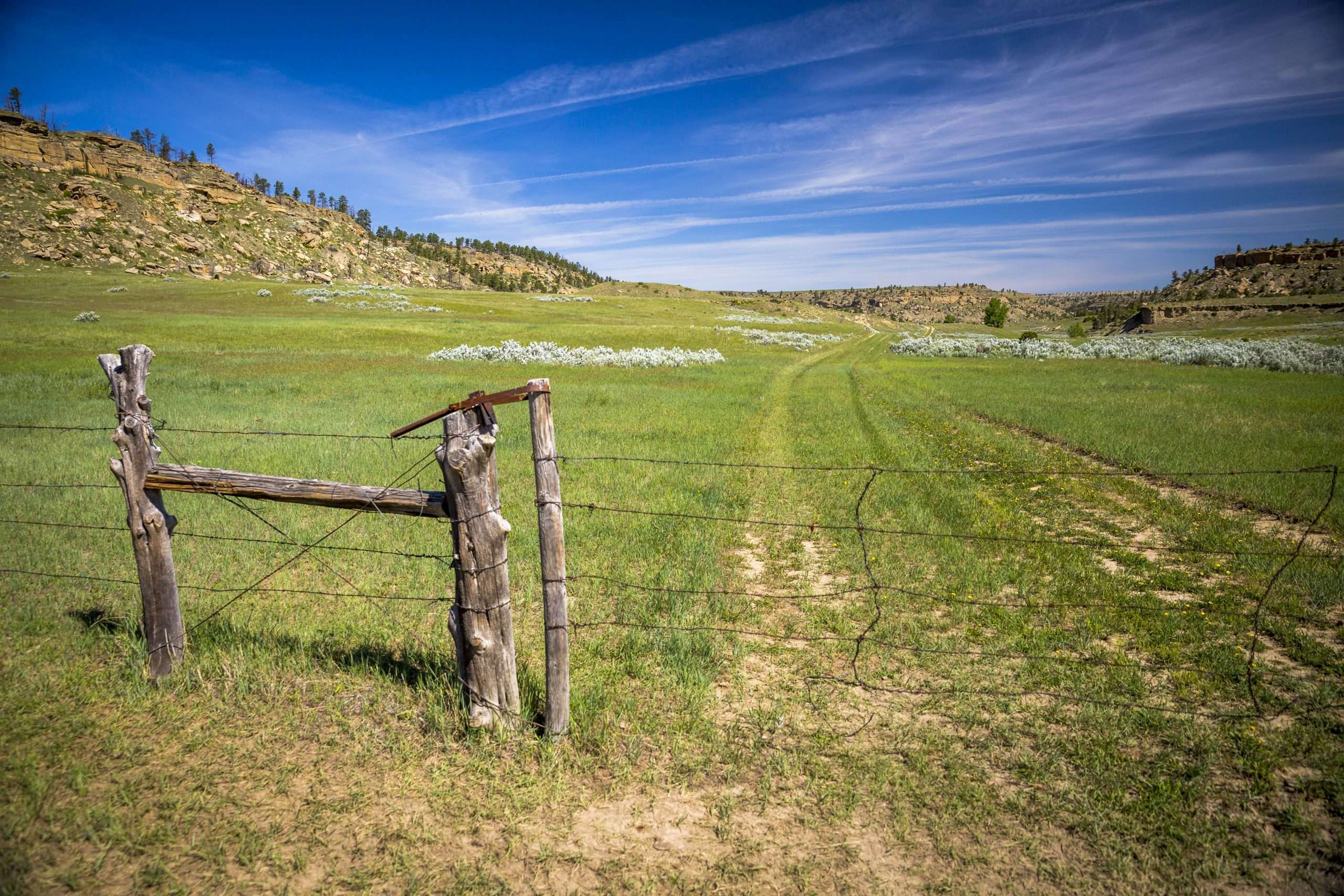
There are no improvements on the ranch other than the select areas where traditional fencing or cross-fencing is required. The natural rock bluffs make up 80% of needed fencing so posts and wire are minimal. Access across the ranch is generally easy and can be done primarily by truck or ATV/UTV.
Currently, the ranch is home to just a handful of horses. This low-pressure approach has allowed the grasses to flourish for both the horses and area wildlife. There are no sorting pens or barns on the ranch.
RANCH OPERATIONS
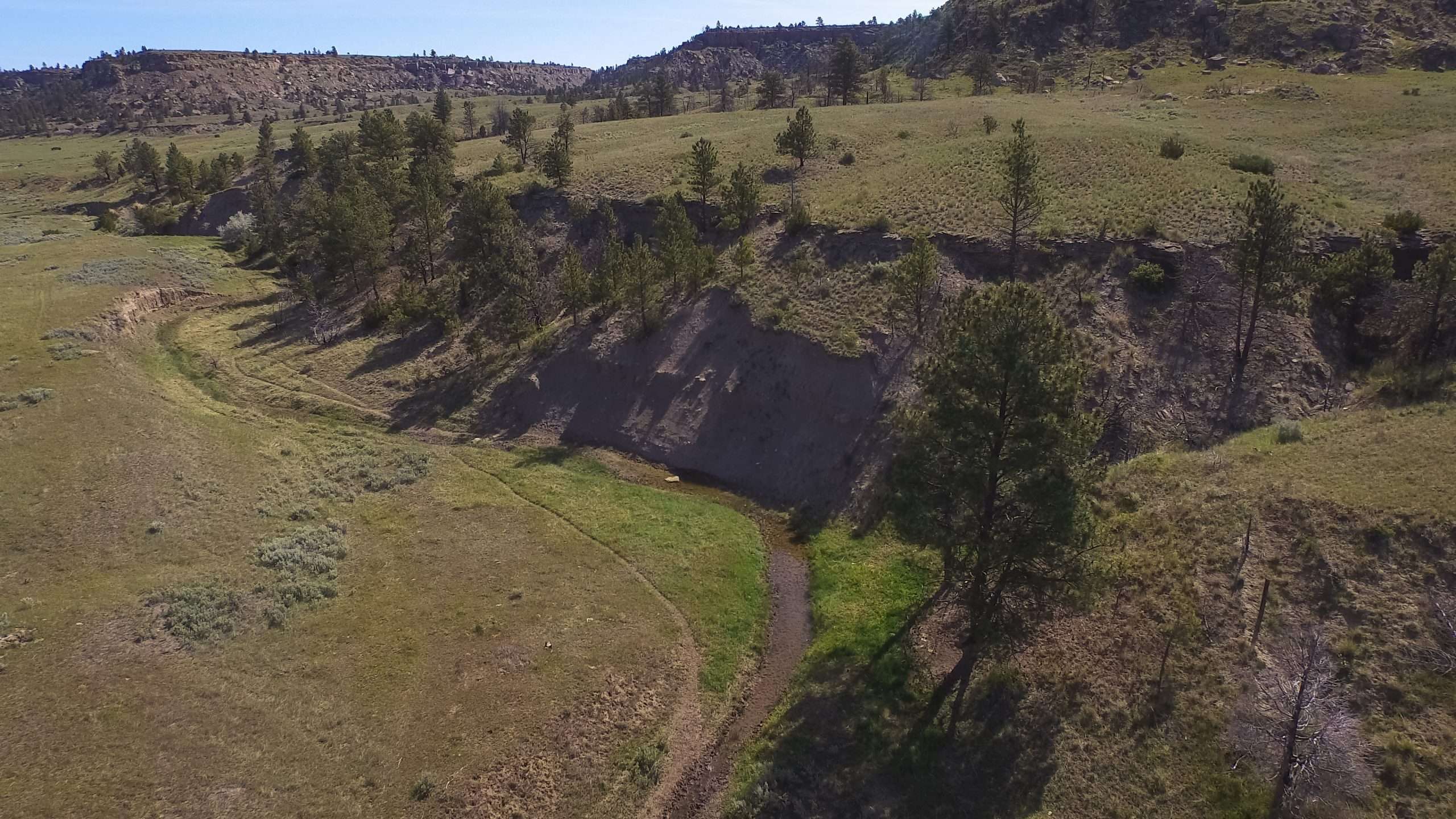
Rimrock Valley Ranch is situated completely within the western part of Yellowstone County. Elevations on the ranch vary from a low of around 3,500 ft on the northern portions along Canyon Creek to a high of approximately 3,980 ft atop the bluffs along the southern boundary. Multiple tree covered draws feed into the creek valley from between tall rock bluffs. These bluffs are as beautiful as one would imagine, offering a picturesque contrast by framing the lush valley below as well as creating a natural barrier for any stock held on the ranch.
The South Fork of Canyon Creek bobs and weaves its way in a northeasterly direction through the valley floor gaining water and flow as it joins multiple springs along the way. Several of these spring pools are surprisingly deep and are often utilized as summer swimming holes. Hiking and exploration opportunities are endless up the many draws and as you pick your way among giant boulders and caves along the bluffs. It is believed that the remnants of one of Calamity Jane’s early dugout shelters is still present on the ranch, along with multiple teepee rings on the higher plateaus.
In Laurel, the summers are short, hot, dry, and mostly clear, and the winters can be cold, snowy, windy, and partly cloudy. Over the course of the year, the temperature typically varies from 20°F to 89°F and rarely drops below 0°F or climbs above 98°F. Average annual rainfall in the Laurel area is around 14 inches with total precipitation levels varying from year to year. Laurel typically has 203 days of sunshine annually.
RECREATION
There is a 200± acre improved dryland pasture that is currently under hay production. This pasture, along with the rife native grasses along the canyon floor, and multiple water sources bring in and support indigenous wildlife. In addition to hunting during the various seasons, this ranch provides plenty of outdoor recreational fun including horseback riding, four-wheeling, hiking, camping and more during warmer months. In the winter, cross-country skiing, snowshoeing and snowmobiling top the list.

