2024 Outlook: Montana Water Supply
Spring is in the air in the Treasure State. While the recent warm and sunny days are welcomed by many, they also signal that it’s unlikely the lower-than-average snowpack levels will recover before the end of the peak snow accumulation season in early May.
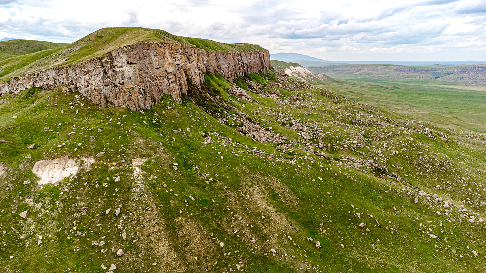
Montana snowpack levels were at near record lows this winter and despite a cold and precipitation-heavy February, most basins remain far below normal levels.

Bighorn River basin has the highest percentage of snow water equivalent (SWE) at 84% compared to the NRCS 1991-2020 average. The Powder, Jefferson, Madison, Kootenai and St. Mary basins are all above 70% as reported on the National Weather Climate Center (NWCC) interactive map for mid-April. The Upper Missouri, Sun-Teton Maria, and Bear Paw basins are all below 50%—a record low according to the April 1st, 2024 USDA Montana Water Supply Outlook Report. SWE deficits at the time of the report were 10-13 inches below normal at higher elevations and are not expected to recover enough to boost streamflows this summer:
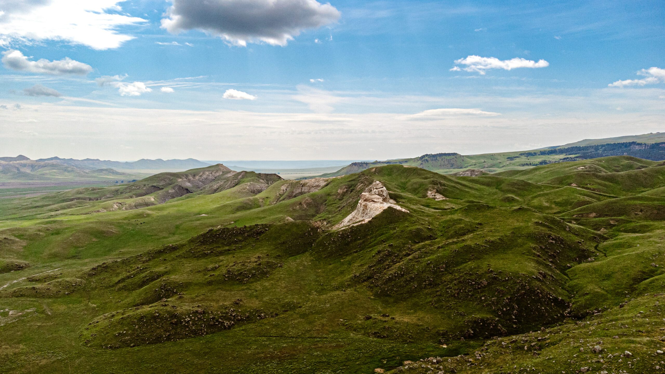
April-July streamflows are forecasted to be about 70-85% of normal in Montana. However, forecasts are near to above normal in a couple pockets of northwest, southwest, and southern Montana where water year precipitation has been closer to normal. Locations of greatest concern include the Teton, Shields, Nevada Creek, Bighole, Musselshell, Little Bighorn, Blackfoot, Smith, Sun, Clark Fork and Tongue River, which are forecasted to have less than 65% of normal total runoff volume during the April through July time period.
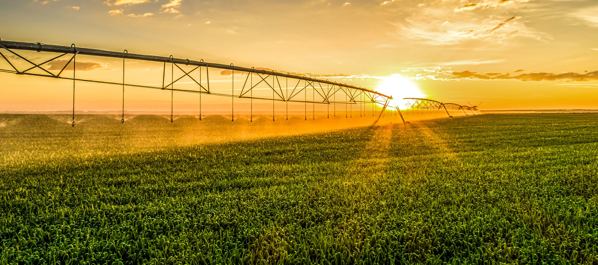
Water supply levels and their usability are highly dependent on when, and how fast the snow melts—the temperatures and precipitation over the next few months will greatly impact water availability for this summer. Low streamflows create challenges for farmers and ranchers and impact recreational activities like fishing and boating. Forecasters expect streamflows to be at 60-80% of normal over the next three months unless a significant amount of rain falls in May and June—entirely possible as average precipitation is the highest during these two months. Lower temperatures ensuring a slower melt-off would prove beneficial as well.
While there is still a chance for the water supply to improve over the next few months, long-range weather forecasts from the National Weather Service don’t look optimistic. Reports indicate slightly warmer-than-average temperatures for Western Montana in May, June, and July, and equal chances of above or below precipitation for the eastern areas. Precipitation levels for the same period are expected to be normal for most of the state with just below average levels expected in Northwest Montana. If the predicted temperatures and precipitation are correct, much of the state will likely endure another summer of drought.


National Weather Service: Seasonal Precipitation Outlook
The U.S. Seasonal Drought Outlook Report, issued April 18th, 2024 by the National Weather Service, forecasts that during the period from April to July, most of Western Montana will be experiencing persistent drought conditions or drought is likely to develop. According to the drought forecast map below, the eastern portion of the state looks to be mostly drought-free with a few drought-stricken areas expected to improve in the months ahead.

While Montanans should prepare for a water shortage this summer, according to climatologists at the Montana Climate Office, there is a chance that Montana will see a shift this fall from the warmer drier weather patterns of El Niño to La Niña conditions. La Niña is a weather pattern that sends cold air into Canada and then the Northern United States, a result of the cooler surface temperatures of the water near the equator in the Pacific Ocean, as explained by National Geographic. Cooler temperatures and above-average precipitation would create more favorable conditions for snowpack levels and the water supply next year.
While the weather outlook is not encouraging for normal water supply levels this year, as always it’s a wait-and-see situation. The complexities of Montana’s water supply can be difficult to comprehend and predict, but there is a sense of simplicity in trusting Mother Nature. Whether it’s a dry or wet year, Montana producers, fly fishermen, hunters, and recreationists will be keeping a close eye on the skies this spring and summer.