The Great Divide
As the fourth largest state in the US, Montana has an incredible diversity of geography, climate, and population across its almost 150,000 square miles of land. Spanning 545 miles from east to west, the Big Sky State is bisected by the Continental Divide—the mountain ridge that runs north to south across the Americas and determines into which ocean water will flow. The “Great Divide” as it’s often called, defines the boundary between the eastern and western United States and delineates two very different regions within Montana.

The Way the Water Flows
The Continental Divide begins in the United States where the Canadian and Montana borders meet. It then heads south through Glacier National Park, the Rocky Mountains, and then exits Montana through Yellowstone National Park into Wyoming. Water flowing east of the divide drains into the Atlantic Ocean, while water west of the divide flows to the Pacific.
In Glacier National Park, the Laurentian or Northern Divide converges with the Continental Divide, creating a geologic feature known as a Triple Divide Peak. Water is diverted in three directions here, either east, west, or north to a watershed that empties into the Hudson Bay in Canada. However, most of the water flowing into the northern watershed is diverted by dam into the Milk River for agricultural use. The Milk River drains to the Missouri and Mississippi Rivers, eventually emptying these waters into the Gulf of Mexico rather than Hudson Bay. For more information on the Milk River, read Western Ranch Brokers’ article, Discover Montana’s Milk River.

Historic Significance
Beyond water flow, the Continental Divide has always played an important role in Montana—long before the area was declared a state. Traversed by Native Americans for thousands of years, and crossed by the European settlers during the westward expansion, the Continental Divide is a startling reminder of the incredible power of nature. Impacting everything from our environment to our politics, its geologic history has influenced the lives of inhabitants both past and present.
The place we know today as Montana was first inhabited by Native Americans including the Kootenai, Kalispel, and Salish in the western part of the state; the Pend d’Oreille around Flathead Lake; the Blackfeet, Assiniboine, and Gros Ventres in the central and north-central areas; the Crows in the south-central region; and the Cheyenne in the southeast.
Most of what is now Montana was acquired by the U.S. Government in 1803 as part of the Louisiana Territory and was later explored by Lewis and Clark as they sought a waterway that would connect them to the Pacific Ocean. Much of what is now northwest Montana, including Flathead Lake, Missoula, and areas of Glacier National Park, was originally part of the Idaho territory.
The boundary of the Montana Territory was eventually changed to follow the Bitterroot Divide to the west instead, thanks to the first Territorial Governor of Montana and his close friend Abraham Lincoln. The impressive mountain ridge also defines two distinct areas within Montana, the eastern and western regions. The geography and climate conditions on either side of the Continental Divide are markedly different, greatly influencing each region’s industries, economy, and population numbers.
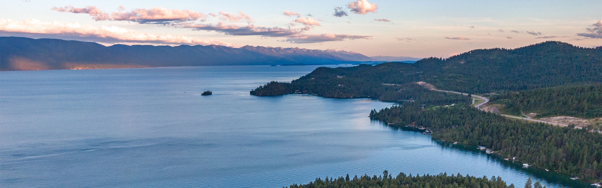
The Western Region
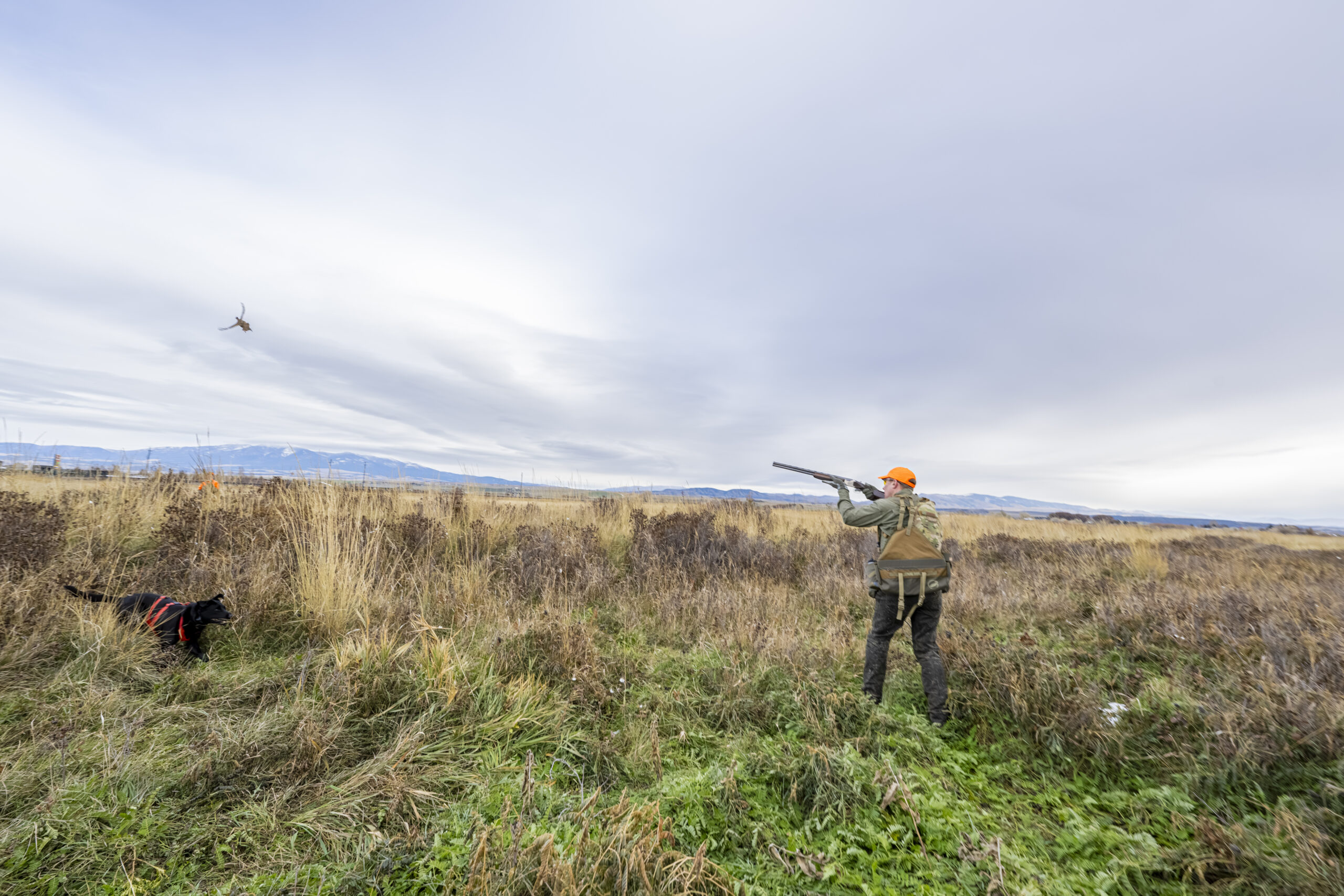
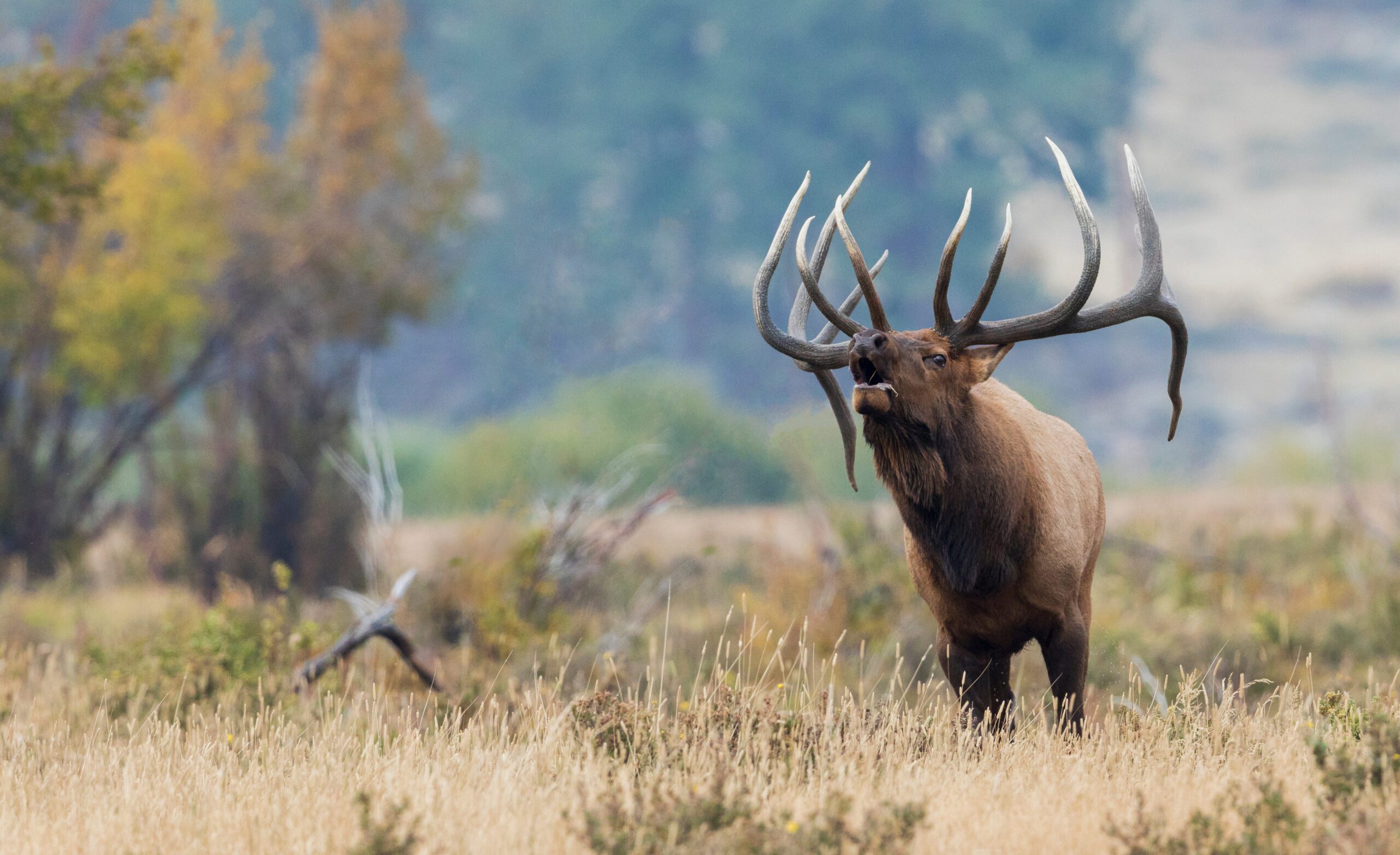
The area west of the Continental Divide in Montana is known for its mountainous terrain and plentiful forests, rivers, and lakes—including the Rocky Mountains and Glacier National Park. The impressive topography draws visitors from far and wide as do the endless outdoor recreation opportunities such as skiing, hunting, and fishing. Climate conditions on this side of the divide are shaped by the Pacific—resulting in cooler summers, warmer winters, lighter winds, and more evenly distributed precipitation than the eastern region. While the landscape west of the divide isn’t renowned for agricultural production, many of its valleys are full of rich soils and the area produces a significant amount of potatoes, fruit, and timber.

The region west of the divide includes the cities of Missoula, Kalispell, Whitefish, Big Fork, Eureka, Columbia Falls, Deer Lodge, Hamilton, Drummond, St. Regis, Anaconda, and Butte. Although Bozeman is often considered to be in southwest Montana, it lies on the eastern side of the divide.
The Eastern Region
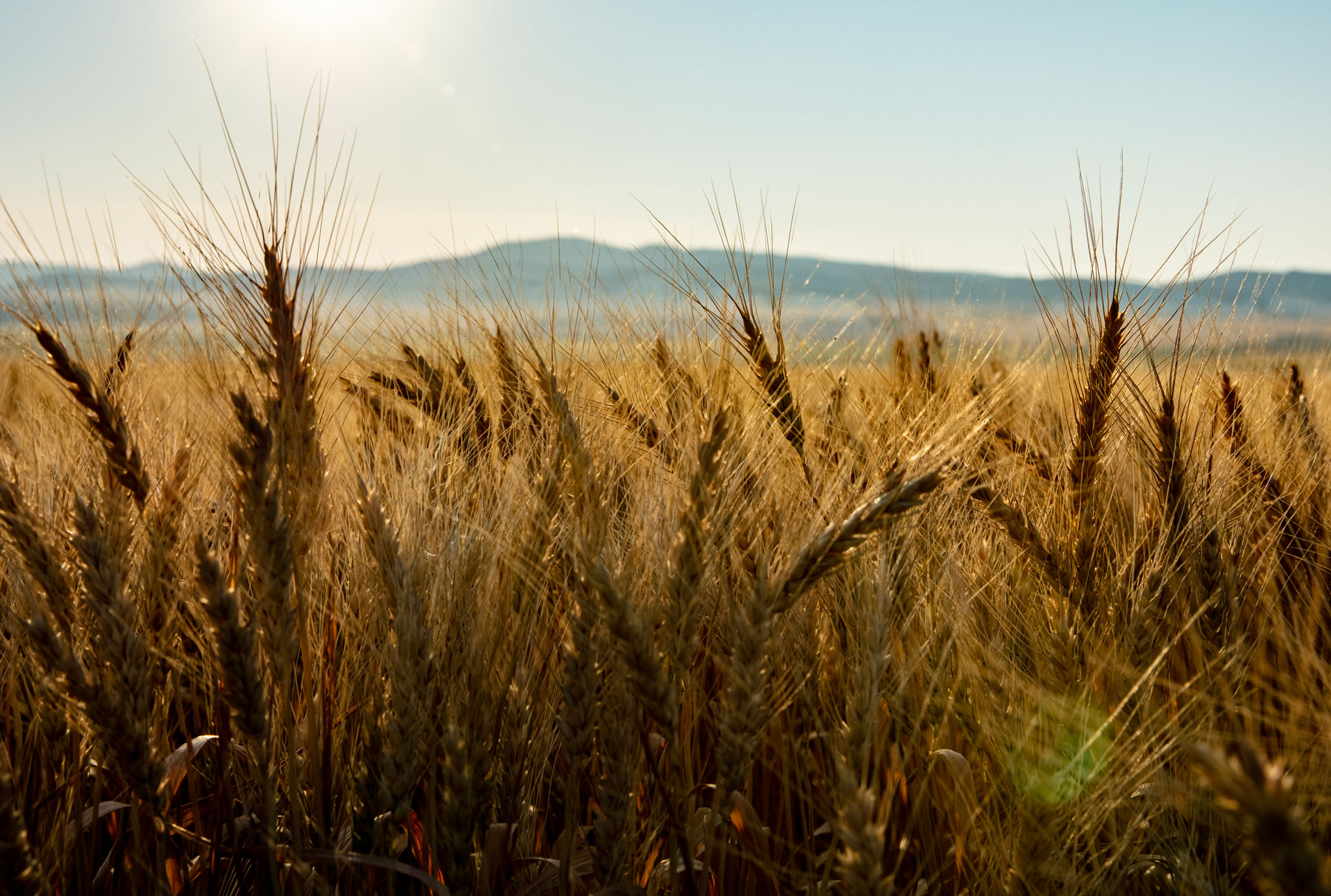
In contrast to the high-altitude landscapes of Western Montana, the land east of the Continental Divide is characterized by typically flat landscapes, well-suited for raising cattle. The rolling plains and grass-covered prairies represent close to 60 percent of Montana’s geography and are ideal for farming and raising livestock. Less humidity and more sunny days extend the growing season on the eastern side of the divide, but weather patterns from the Atlantic are known to bring both hot and cold extremes to this region. Rich in natural resources such as oil and gas, land in the eastern region is known more for industry than tourism. However, from the endless skies of the badlands to the rocky outcroppings along the Missouri, the United States’ longest river, there is plenty of natural beauty to explore in this region as well.

Which is the best region in Montana? The answer is different for everyone. If it’s backcountry mountain adventures you seek, then head to Glacier in the westernmost part of the state. If you are in the cattle business, Miles City is a better bet than Missoula. The incredible diversity of geography, climate, and lifestyle throughout Montana means there is something for everyone. A trip to the other side of the divide can lead to a completely new experience, without ever crossing the state line.